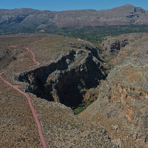
Sitia Geopark covers an area of 516.7km2 that includes an abundance of geotopes like rock formations, fossils, caves, gorges, landforms, coastal formations, rock faults and geo-archaeological sites like quarries.
All this constitutes the pieces of the geological history and evolution of Sitia. The routes designed by the Geopark are organised to interpret and integrate each geological phenomenon into its natural and human environment. Visitors are informed and can navigate the routes with the help of printed and digital interactive maps, as well as signs along the routes. Recommended route areas are: Palaikastro, Karydi, Vai, Zakros.
Useful Links